The Brief
Working on behalf of the Welsh government, engineering solutions provider Costain needed to communicate the design element of section 2 of the A465 road development to local residents, raising public awareness of those concerned about the potential local impact.
Our Solution
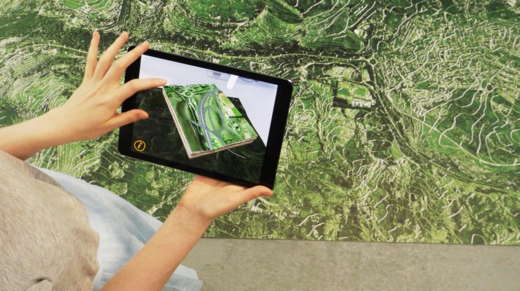
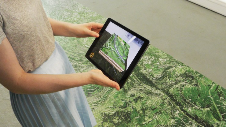
Inition designed an iPad AR app that presented the entirety of the landscape with the road section in situ, included five hotspots of major intersections.
A four metre marker was created that resembled an abstract satellite image of the road. This was one of our largest markers yet and was what the app anchored to, bringing the animation to life on the tablet.
Hovering over the hotspots with an iPad, the user sees a magnified visual of the location.
The Results
The app was presented in community centres and school halls throughout Wales.
“The visualisation went down a storm, being popular with the public who maybe didn’t fully understand the engineering drawings (as well as some of the staff!!). Our landscape architects were most impressed and believe it would have been a useful tool at design because it gave viewpoints which they had not considered before.” Phil Grosvenor, Costain Ltd


